Gwydir Highway
Project overview
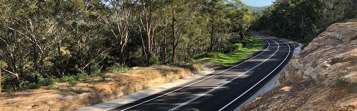
The Gwydir Highway provides a vital link between the east coast of New South Wales and the New England tablelands and western plains.
Project information
Background
The Gwydir Highway stretches 567 kilometres, starting in the northern rivers of NSW at South Grafton and extending west to 14 kilometres north of Walgett.
The highway provides an important east-west freight link across the Great Dividing Range and connects a series of interstate highways and important interregional corridors with inland urban centres.
The Gwydir Highway intersects with:
- The Pacific Highway and Summerland Way at South Grafton,
- The New England Highway at Glen Innes,
- Fossickers Way at Warialda,
- The Newell Highway at Moree
- The Castlereagh Highway near Walgett.
Traffic volumes along the Gwydir Highway show peaks in the major regional centres of South Grafton, Glen Innes, Inverell and Moree and level off in rural areas and towns along the corridor.
Highway Through the Ranges video
This video, produced by the then Department of Main Roads, documents the construction of the new section of highway between Glen Innes and Grafton.
Image
Image controls:
Project documents
Some documents on this page may not comply with accessibility requirements (WCAG).
If you are having trouble accessing information in these documents, please contact us.
Media releases
- 10 August 2020
Smoother, safer journeys on Gwydir Highway at Glaggy Creek.
Contact us
For further information about this project, please contact:
Phone: 1800 684 490