Google Maps case study
Image

Image controls:
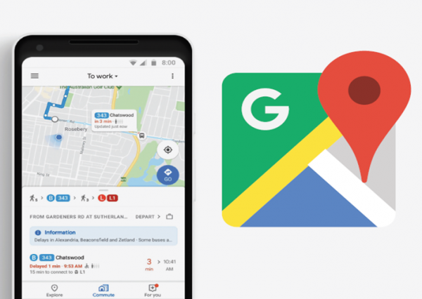
Earlier this year, Google Maps launched new features to help customers take control of their daily commute - enabling them to plan ahead, prepare for the inevitable disruptions, and when possible, avoid them all together.
Through Google Maps use of Transport for NSW’s Open Data, commuters can now access live transit information tailored to individual journeys in one tap. Across Sydney, transit riders are now able to see exactly where their bus is on Google Maps. Customers will know how far away their bus is, to make sure they don’t miss their ride.
Transport for NSW worked with Google to deliver a global first – a feature to show the occupancy of their next bus, so commuters know whether or not they will get a seat. This feature allows commuters to plan ahead and keep their journey stress-free. Our collaboration with Google makes commuting easier for our customers.
