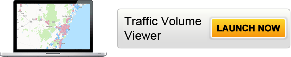
Traffic Volume Viewer
While every effort has been made to ensure the accuracy of the data, completeness of the data may be impacted by external factors including weather and technical faults.
How to use this map
Overview
The map shows the locations of:
- Traffic count stations, which report the number of vehicles.
- Traffic classifier stations, which count the vehicles and differentiate between light and heavy vehicles.
For many classifier stations, the percentage of traffic made up of heavy vehicles is available.
Search
- You can search for a station by its location (such as street address or suburb) or, if known, by station ID (eg '74202')
- You can also select an area, such as a road, suburb or Local Government Area, to filter on only the stations located within the selected area.
Filter
You can filter the data by year, or by counter station type in the controls at the bottom of the page.
Hourly Data
You can access the raw hourly data for each station. Select the 'Show Hourly Data' button to view and download traffic count data for the selected station for every hour of each day.
Download
All data presented on the map can be downloaded to a CSV file.
How is data collected?
Traffic volume information is collected via permanent and sample roadside traffic collection devices.
Transport for NSW has approximately 600 permanent roadside collection device stations which continuously collect traffic information 365 days per year. There are also numerous sample roadside collection device stations across NSW, which collect information on a short term basis, usually over a two week period.
Information collected from these devices includes traffic volume counts, speed and classification (vehicle type) depending on the technology available at each site.