B-Line Image Gallery
Neutral Bay
Image
Image controls:
Image
Image controls:
Image
Image controls:
Cremorne
Image
Image controls:
Image
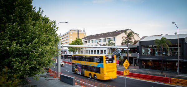
Image controls:
Image
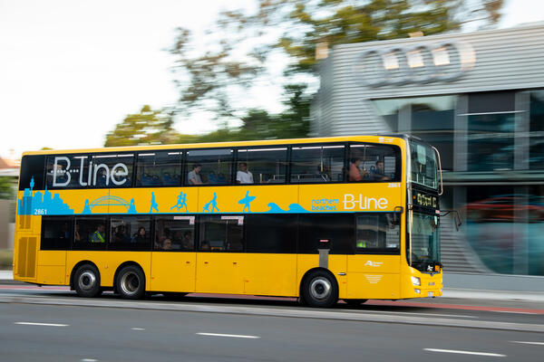
Image controls:
Spit Junction and Mosman
Image
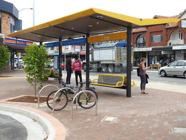
Image controls:
Image
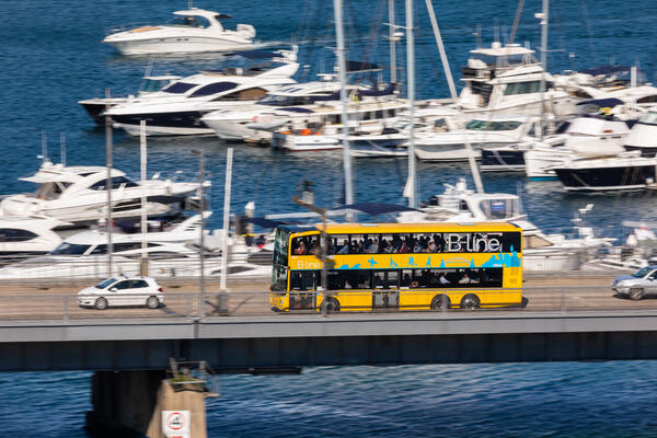
Image controls:
Manly Vale
Image
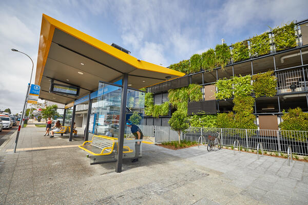
Image controls:
Image
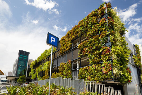
Image controls:
Image

Image controls:
Brookvale
Image
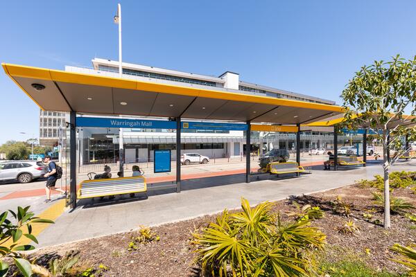
Image controls:
Image
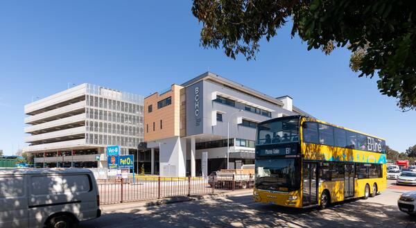
Image controls:
Image
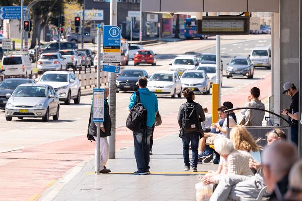
Image controls:
Dee Why
Image
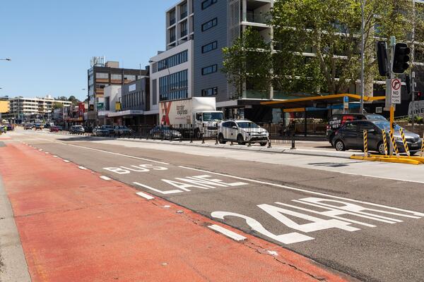
Image controls:
Image
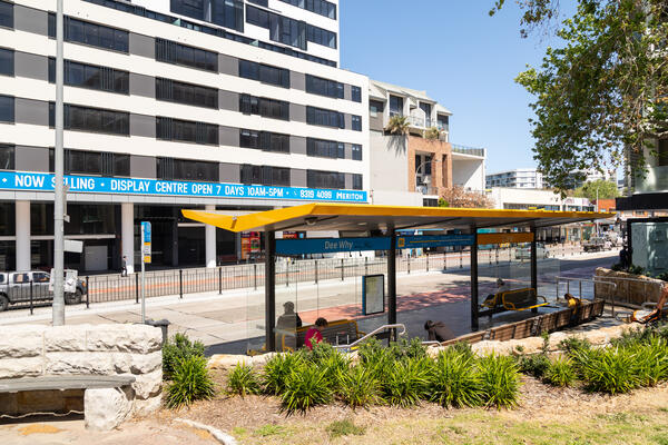
Image controls:
Collaroy
Image
Image controls:
Image
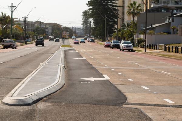
Image controls:
Narrabeen
Image
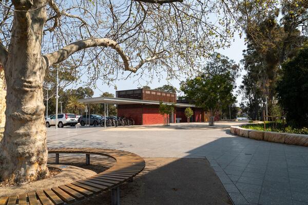
Image controls:
Image
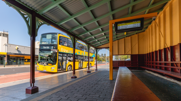
Image controls:
Image
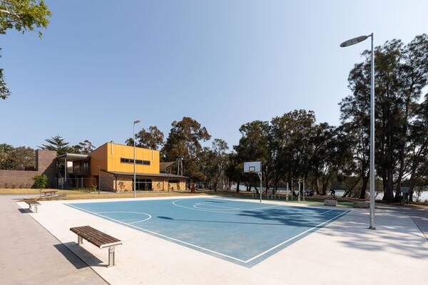
Image controls:
Warriewood
Image
Image controls:
Image
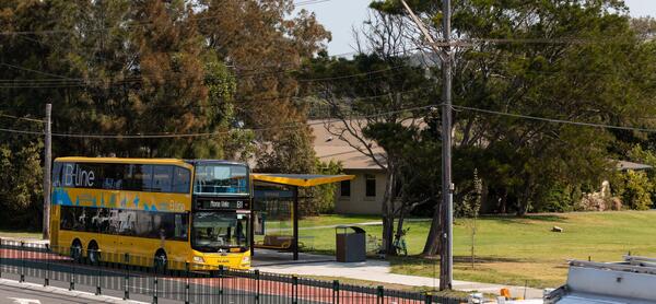
Image controls:
Mona Vale
Image
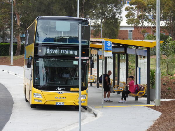
Image controls:
Image
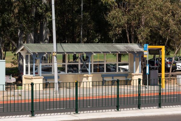
Image controls:
Image
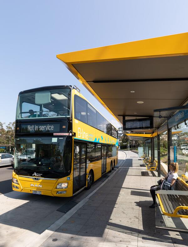
Image controls:
Contact Us
For more information on the B-Line Project and associated works, please contact us by:
- Phone:
1800 048 751 - Email:
projects@transport.nsw.gov.au - Post:
Transport for NSW, Locked Bag 6501, St Leonards NSW 2065