Bruxner Highway - Wollongbar to Goonellabah
Project overview
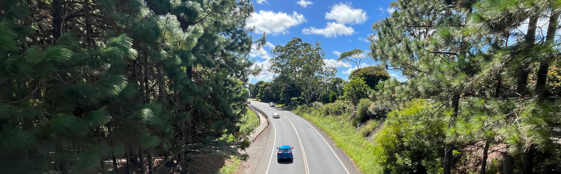
The NSW Government has carried out investigations to confirm a preferred corridor for the upgrade of around eight kilometres of the Bruxner Highway between Sneaths Road, Wollongbar and Kadina Street, Goonellabah. This is the first step in progressing a long-term solution for this section of the highway that would improve the safety and efficiency of the corridor.
Latest news
December 2024 – Have your say
Transport for NSW has identified a preferred corridor for the future upgrade of around eight kilometres of the Bruxner Highway between Sneaths Road, Wollongbar and Kadina Street, Goonellabah.
Preserving the land is the first step towards the future upgrade of this section of the Bruxner Highway and will assist with future planning and land-use decision making. In preserving the corridor, it is noted the preferred alignment is similar to the alignment previously shown in both Lismore and Ballina Council Local Environmental Plans, with one third of the alignment owned by the NSW Government.
Transport for NSW is now inviting the community to have their say on the preferred corridor to help identify any potential issues ahead of corridor preservation.
You can provide feedback:
- Online:yoursay.transport.nsw.gov.au/w2g
- Email: W2G@transport.nsw.gov.au
- Mail: Bruxner Highway Wollongbar to Goonellabah Project Team, Transport for NSW, PO 576, Grafton NSW 2460.
Have your say by 5pm, Friday 20 December 2024.
Project information
Background
The Bruxner Highway is a key east-west corridor in northern NSW, stretching more than 400 kilometres from Ballina to Boggabilla. This arterial road connects people to health, education and other essential services, as well as providing critical freight links that many producers in the region rely on.
We have been planning improvements along the full length of the highway and have developed a comprehensive Bruxner Highway corridor strategy. This includes investigating viable options to improve safety for all road users, reduce congestion as well as improve pedestrian and cycle connectivity between Ballina and Lismore.
Identifying and preserving a corridor alignment is the first step in progressing a long-term solution for the potential upgrade of the Bruxner Highway between Wollongbar and Goonellabah. This will work towards helping to improve the safety of communities using the corridor every day to access education, employment, health and social services as well as all road users who travel this corridor.
Identification of preferred corridor
Many residents in the region are aware of a previously identified road corridor to the north of the existing highway that was a single carriage road alignment, meaning it allowed for one lane of traffic in each direction.
This historic alignment was added to the Lismore and Ballina Council’s Local Environmental Plans (LEPs) in the 1970s.
Transport have carried out investigations that tested and analysed a dual carriage road alignment, that is two lanes in each direction, along the historic LEP alignment.
These investigations focused on opportunities to enhance safety and efficiency of the highway that would accommodate increased traffic demand, while also identifying issues that could impact the community and impede delivery of an upgrade.
The outcome of this investigation confirmed a preferred corridor along the historic LEP alignment, with some minor adjustments.
These adjustments were made to ensure a future upgrade could:
- provide a major high speed movement corridor with no at-grade intersections (where local roads intersect with a highway at the same elevation) from Sneaths Road to Oliver Avenue
- tie into the Alstonville Bypass to provide a consistent road environment, being a high-speed arterial road corridor
- bring the alignment up to current safety design standards
- identify opportunities for shared pathways and active transport connections, including along the existing Bruxner Highway alignment
- be designed for B-double and oversize overmass vehicles.
Project benefits
Preservation of the corridor will protect the land needed for a future highway upgrade, while also providing certainty for future planning and land-use decision making by Council and property owners following the 2022 floods.
This is the first step to deliver a safer, more efficient and resilient highway that can support population and economic growth in the region.
This will allow us to work with the Department of Planning, Housing and Infrastructure (DPHI) as well as Lismore and Ballina councils to incorporate the preferred alignment into the Local Environmental Plans, rather than the historic LEP alignment.
Next steps
After the display period closes, we will publish a report that includes responses to issues raised by the community. Feedback received on the preferred corridor will be considered, which may require some refinements to the alignment before we work with DPHI and councils to incorporate the preferred corridor into the LEPs.
We will continue to consult with councils, local businesses, community and property owners, to improve our knowledge of the area, which is important in assisting us understand the wider network impacts.
Further progress and timing for an upgrade on this section of the highway is subject to further funding. This includes field investigations to inform the strategic design, community consultation, environmental assessment, property acquisition and the final business case.
We will keep the community informed of any progress via this project web page.
Project documents
Project updates
- Project update – December 2024 (PDF, 830.16 KB)
Have your say on preferred corridor
Contact us
For more information:
Email: W2G@transport.nsw.gov.au
Call: 1800 749 234