NSW Safer Roads map
Our interactive map shows projects that will improve safety on urban and rural roads across NSW as part of the NSW Towards Zero Safer Roads Program and Federal Road Safety Program.
How we deliver safer roads
Road treatments
Shoulder widening adds more area to the road and removes dangerous edges and roadside hazards. Wide centrelines allow drivers greater distance and time to recover if they stray into the opposing traffic lane. Audio tactile line marking (rumble strips) generate a distinct sound and vibration to alert drivers if they drift too far to the edge of the road.

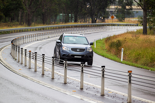
Traffic barriers
Road safety barriers are used on many roads in NSW to eliminate and/or reduce the severity of crashes. All barriers are built to meet Australian/New Zealand standard AS/NZ 3845 ‘Road Safety Barrier Systems’ and are either flexible, semi-rigid or rigid barriers.
Flexible wire rope safety barriers absorb impact forces and redirect vehicles back into their lane to reduce the risk of hitting oncoming traffic or roadside hazards.
Steel W-beam safety barriers are semi-rigid and made of steel rails mounted on posts that are designed to break when struck by a vehicle.

Concrete safety barriers are rigid and made of concrete and mortar.

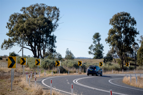
Safer curves
Curve alignment markers provide guidance to make sure drivers have enough time to slow down and navigate a curve.
Traffic calming
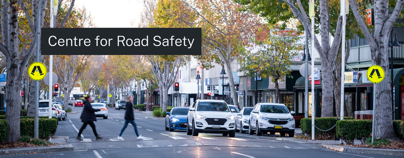
40 km/h high pedestrian activity areas (HPAA) are sections of road where there is heavy interaction between vehicles and pedestrians. They are often near shopping strips, railway stations, bus interchanges, popular beaches and services such as medical centres.
HPAA zones are part of a NSW government initiative to create a safer environment for all road users, particularly pedestrians.

By installing key treatments on country roads, we target the crash types commonly related to lane departure and driver fatigue.
Find out how we improve safety in urban areas with infrastructure upgrades for pedestrians and bicycle riders, and address serious injury crashes.