Wagga Wagga Active Travel Plan Evaluation
Evaluative research by TfNSW, University of Sydney and Wagga Wagga City Council to understand outcomes and community benefits of Wagga Wagga’s Active Travel Plan.
Image
Image controls:
Background
Planning for Australia’s future requires increasing investment in sustainable transport, not only in capital cities but also in growing regional centres. Wagga Wagga is the largest inland city in NSW, with a population of 65,000 which is expected to increase to over 80,000 by 2040. Transport solutions for growing regional centres like Wagga Wagga require an integrated system of mobility options which meet current and future demand.
Wagga Wagga City Council received $11.4 million in 2018 from the NSW Cycling Infrastructure Fund managed by Transport for NSW (Transport) to construct a 45 kilometre-long active travel infrastructure network in the town.
Subsequently in 2020, Council received an additional $3.9 million in funding from the NSW Government to expand the project by 12 kilometres. This represents the largest network of new, high quality, safe and accessible shared walking and cycling links ever constructed within a short timeframe in regional NSW.
The project comprises 57 kilometres of new or resurfaced shared path infrastructure plus interchange upgrades. This network connects cycling and walking infrastructure to education facilities and workplaces, including coming within one block of 90 per cent of schools in Wagga Wagga.
To understand the impact of this infrastructure project on a range of areas such as increased community use and promotion of active travel, evaluative research was undertaken. This research aimed to provide evidence of the short to medium-term changes and benefits of the Active Travel Plans implementation and enable longer-term benefits to be estimated.
This evaluation adds significantly to the evidence base on active transport planning and implementation in Australia. Specifically, the project provides critical data to inform policies for NSW regional towns and councils seeking to improve infrastructure for active travel.
Findings
The final reports of this research are presented below. Overall, the research concluded that:
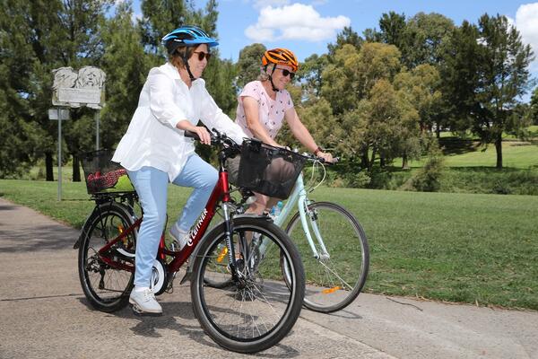
- The networks are being used. Use varies across the network with trip attractor links (those with a trip attraction such as lake, park, shopping area etc) having the highest average traffic. Traffic use was similar across days of the week.
- Most network users are pedestrians, and most pedestrians are walkers.
- The network is being used for the purpose of being physically active. A high proportion of community members met the Australian physical activity guidelines of engaging in 150 mins or more of moderate or vigorous physical activity per week.
- Community members who were using the network had 3.7 times the odds of meeting physical activity guidelines, compared to respondents who did not use the network. This indicates a positive relationship between using the network and achieving sufficient physical activity.
- Barriers to network used identified in the research included incomplete line markings and wayfinding signage. The continued maintenance of the network was also identified particularly after weather events which affected the condition of the network.
- Learnings from the methodology showed that monitoring use of active travel infrastructure through methods such as automated counters was important to understanding the impact of the infrastructure investment.
Documentation
- Wagga Wagga Active Travel Plan Evaluation – Executive Summary (PDF, 1.23 MB)
- Wagga Wagga Active Travel Plan Evaluation – Final Report (PDF, 3.11 MB)
This research was delivered in partnership with iMOVE CRC and supported by the Cooperative Research Centres program, an Australian Government initiative.