Route safety review
Project overview
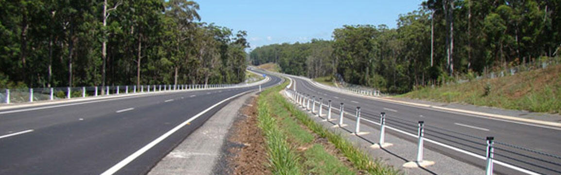
The Oxley Highway stretches 514 kilometres, starting on the mid north coast of NSW at Port Macquarie and extending west to connect with the inland centres of Tamworth, Gunnedah, Coonabarabran, Gilgandra and Warren.
Project information
Road safety review
The Centre for Road Safety (CRS) and Roads and Maritime Services carried out a route safety review of the Oxley Highway west of the Pacific Highway, between:
- Pacific Highway and New England Highway
- New England Highway and Newell Highway
- Newell Highway and Mitchell Highway.
View or download the route safety review.
Review recommendations
The Oxley Highway Safety Review report contains a number of recommendations which focus on an integrated approach to improving road safety along the length of the highway. The recommendations involve implementing an enhanced road safety program which includes:
- Providing greater protection from roadside hazards through the installation of appropriate safety barrier system
- Adjusting existing barrier systems to enhance safety for motorcyclists
- Relocating or removing some roadside hazards
- Improving linemarking practices
- Providing upgraded and consistent warning, advisory and directional highway signposting
- Improving and widening road shoulders
- Upgrading road junction treatments
- Improving road alignment
- Reviewing speed zones and their lengths
- Reviewing school bus operations and upgrading facilities were appropriate
- Enhancing road user behavioural campaigns, especially those targeting motorcyclists, speeding and fatigue
- Providing or upgrading the facilities required to strengthen enforcement strategies
- Maintaining and strengthening existing road safety partnerships
- Review mobile phone coverage to facilitate improved post crash response times.
What was involved in the road safety review?
The Oxley Highway route safety review investigated:
- Fatal and injury crashes
- Road safety engineering issues
- Current speed limits and speed zones
- Driver behaviour issues such as speeding; drink driving; and driver fatigue
- Heavy vehicle issues.
Research, community engagement and highway inspections have been used to inform a strategy aimed at reducing the number and severity of road crashes on the Oxley Highway.
Community feedback sessions were held in Warren, Tamworth, Gunnedah, Walcha and Wauchope in November 2013. To see some of the feedback and local knowledge provided by the community during the consultation period, view the online map (right).
Contact us
For further information about this project, please contact: